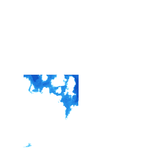
 ±1.26 mNew
Italy Sardinia
Palau, Arzachena & La Maddalena, Sardinia
- ±1.26 mtypical error
- 79laser soundings checked
- 70 km²of shallows
Updated 4 h ago
Shallow-water depth maps for the water you actually paddle, pole, dive and run. Tap any point, check your draft, plan a route, share a pin.
Best time to go this weekFree · Paddler $4.99
Tap anywhere on a map and read the depth in metres or feet, with the typical error for that map.
Enter the draft of your boat or board and see at a glance where you float and where you will not. Plan around the flats, not into them.
Every hour of the week scored for your kayak, board or boat from wind, waves, tide and daylight, with the hours you can pass over the shallows. Check your spot.
Latest maps
Each map shows when it was last recomputed and how well it matched independent laser soundings.
±1.26 mNewItaly Sardinia
Updated 4 h ago
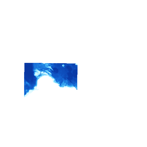 ±1.05 m
UAE West
Updated 5 h ago
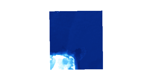 ±0.39 m
Bahamas
Updated 5 h ago
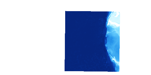 ±0.67 m
Bahamas
Updated 5 h ago
 ±0.66 m
Bahamas
Updated 5 h ago
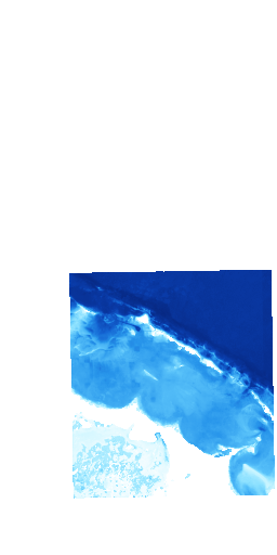 ±0.60 m
Bahamas
Updated 2 d ago
How it works
Many clear-sky pictures of the same coast, taken over the last year, are stacked so clouds, glare and boats disappear.
Shallow water looks different from deep water. A model trained on measured depths turns that colour into a depth for every point.
Independent laser soundings along narrow tracks grade every map. The typical error is printed on the map, not hidden in a footnote.
Regions
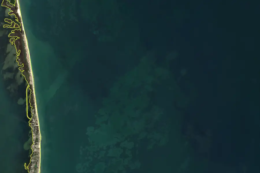
New · Shoreline maps
One shoreline for every year since 2017, drawn from satellites, with where the beach retreats and where it grows measured every 50 m. Two demos are live: the Florida Keys around Marathon, and the Outer Banks at Rodanthe, where the sea is taking up to 28 m of beach a year.
New · Fishing intelligence
Every depth map now ranks the species that live there from the depth and bottom they like, the water the satellites see today (temperature, clarity, plankton, fronts), the season and the tide, and draws where to look. Tap Fish on any map, or read the species pages: bonefish, permit, tarpon, snook, redfish, snapper, grouper, striped bass and more.
Guides
Launch points, tides, hazards and the depth map for each spot.
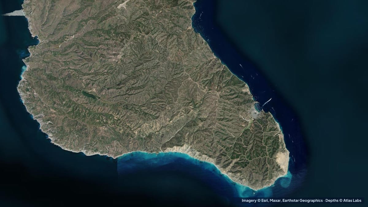 SoCal Channel Islands
Catalina gets deep fast. Depths for Isthmus Cove, Cat Harbor, Emerald Bay and the kelp coves around Two Harbors, with moorings, launches and hazards.
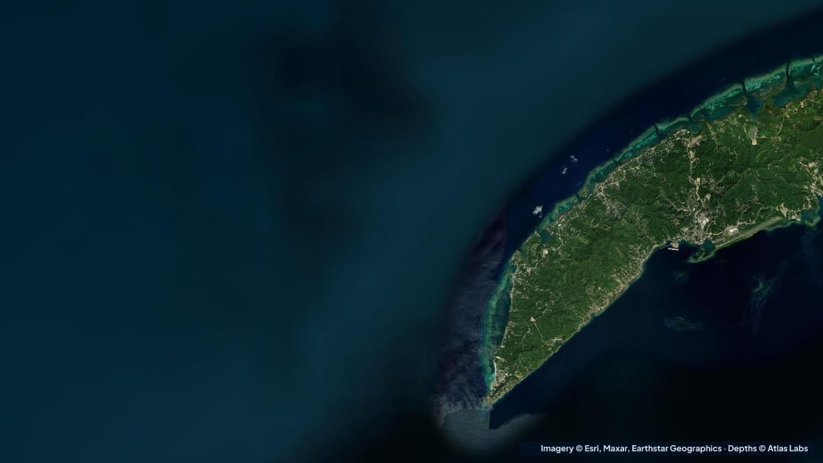 Belize Honduras
How deep West Bay, Roatan is from the beach to the reef wall, plus West End and Half Moon Bay, with access, wind, season and hazards for snorkelers.
 New England
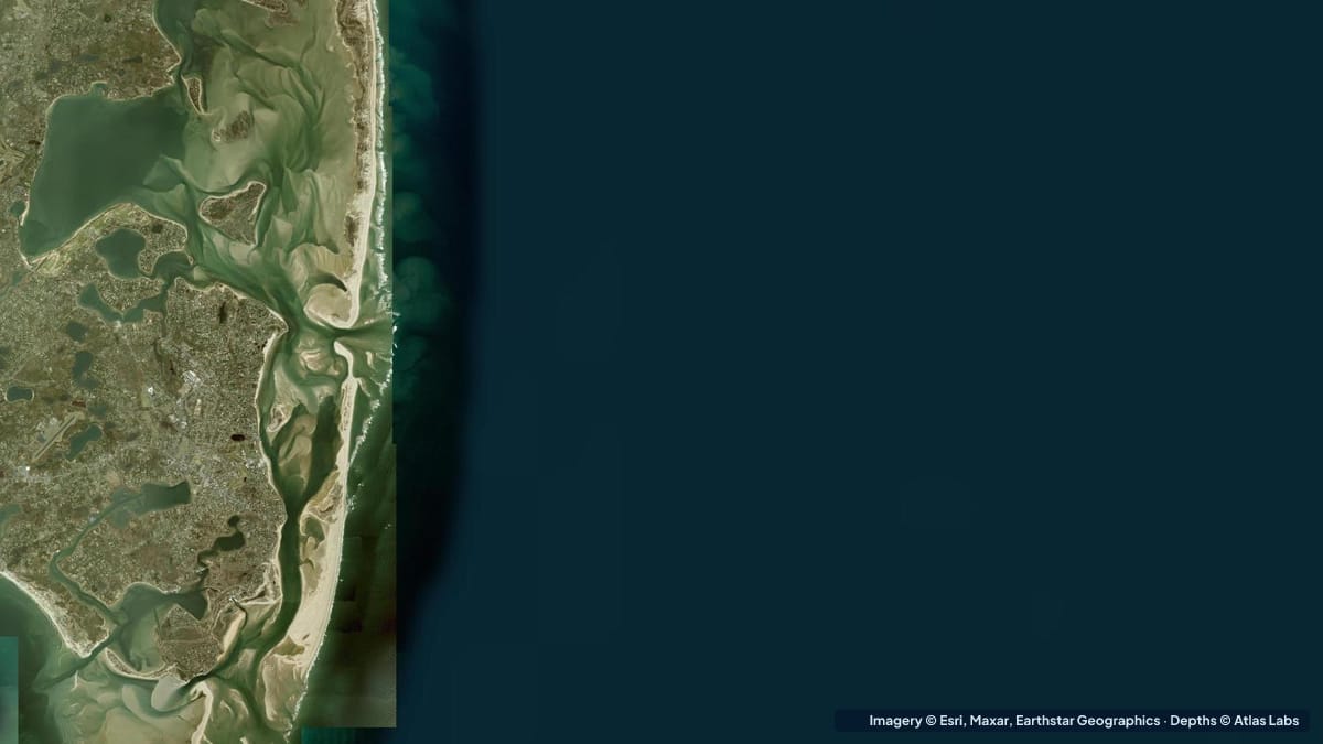
Cape Cod's flats dry for a mile at low tide. Depths for Chatham Harbor, Monomoy, Pleasant Bay and the bayside flats, with launches, tides and hazards.
New maps every week
One short email when a new area is published or an existing map is refreshed. No marketing, unsubscribe any time.