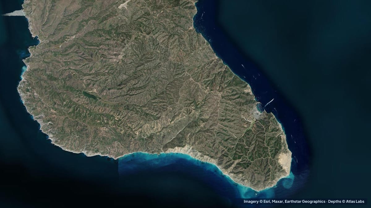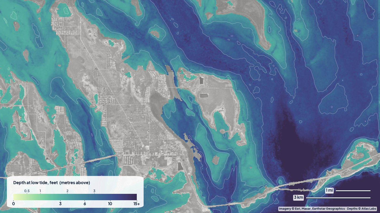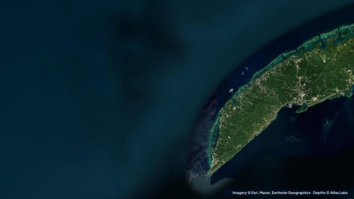
Roatán is the largest of Honduras’ Bay Islands, a long, hilly island sitting on the Mesoamerican Barrier Reef about 40 miles (65 km) off the mainland. Its west end is the tourist heart: West Bay, a mile of white sand with a coral reef that starts a short swim from the beach and drops straight into a wall, and West End, the village just north with dive shops, Half Moon Bay and more shore snorkeling. The reef here is unusually close and unusually shallow, which is why cruise passengers and families can snorkel over coral within minutes of arriving. This guide explains the zones, typical depths, access, conditions and hazards. The satellite depth map for this cell is updated regularly.
What the bottom looks like
- West Bay beach and the sandy shallows: fine white sand shelving gently for the first 100 to 200 ft (30 to 60 m), with seagrass patches.
- The West Bay fringing reef: a shallow reef flat and crest that runs parallel to the beach, close to shore at the southern (rocky) end and a few hundred feet out along the middle, marked in places by buoys.
- The wall: immediately outside the reef crest the bottom drops steeply, from roughly 20 to 40 ft (6 to 12 m) at the reef edge to well over 100 ft (30 m) within a short swim. Snorkelers can hover over the edge and watch divers below.
- West End and Half Moon Bay: a sheltered bay with a sand channel, coral heads and a reef at its mouth, with a shallow snorkel on both sides and the dive-boat channel in the middle.
- The channel between West Bay and West End (the “Blue Channel”): a cut through the reef used by boats, with a sandy floor and coral walls.
- Sandy Bay and the north shore: more reef and seagrass to the east, with marine park moorings.
Approximate depth by zone
Typical ranges only. The tide range is small, under 1.5 ft (0.5 m); swell and wind matter more. Check the live map.
- West Bay beach swimming area: roughly 1 to 8 ft (0.3 to 2.4 m) over sand in the first 100 to 200 ft (30 to 60 m).
- Reef flat at the south end of West Bay: roughly 2 to 8 ft (0.6 to 2.4 m), coral close to the surface.
- Reef crest and edge along the middle of the bay: roughly 10 to 30 ft (3 to 9 m).
- The wall: from roughly 30 to 40 ft (9 to 12 m) at the top to over 100 ft (30 m) very quickly.
- Half Moon Bay (West End): roughly 3 to 20 ft (0.9 to 6 m), channel deeper.
- Blue Channel: roughly 15 to 40 ft (4.6 to 12 m).
- Sandy Bay reef and seagrass: roughly 3 to 25 ft (0.9 to 7.6 m).
Access and getting in the water
- West Bay beach: public access along the beach road and through the resorts; day passes at some resorts for cruise visitors; snorkel gear, paddleboards and kayaks for rent on the sand.
- West End village: a walkable waterfront with dive shops, water taxis to West Bay and shore snorkeling at Half Moon Bay and the Blue Channel.
- Water taxis: run between West End and West Bay all day, a 10 minute ride along the reef.
- Dive and snorkel boats: leave from West End and West Bay for the many marine park sites along the north shore and the south side; moorings are provided.
- Boat ramps: small local ramps at French Harbour and Coxen Hole; most visiting boats arrive by sea and use the marinas.
Best tide, wind and season
- Tide: Negligible. Snorkel at mid-morning for the best light; the reef flat has slightly more water at high tide.
- Wind: The trade wind from the east and north-east blows most of the year, and West Bay, on the island’s sheltered south-west tip, is calm on most days. Northerly winds from winter fronts bring swell and cloudy water for a few days at a time.
- Season: The dry season runs roughly February to August, with March to May the calmest and clearest; the rainy season is October to January, with the most cruise ships in winter regardless. Water is warm year round.
Hazards
- Shallow coral: The reef flat at the south end of West Bay is in 2 to 8 ft (0.6 to 2.4 m) and gets kicked and stood on daily; swim horizontally and use the buoyed channels to cross the reef.
- The drop-off: Beginners can find themselves over 100 ft (30 m) of water a few strokes past the crest; stay with a buddy and inside the buoys if unsure.
- Boat traffic: Water taxis, dive boats and jet skis run along the reef edge; stay inside the marked swim zones.
- Sun and dehydration: Intense year round.
- Lionfish, fire coral and jellyfish: Common; look, do not touch.
- Marine park rules: Roatán Marine Park prohibits touching coral, collecting and anchoring on reef; a small park fee is sometimes collected.
Kayak and paddleboard guidance
Kayaks and paddleboards (4 to 6 in, 10 to 15 cm of draft) are ideal in the shelter of West Bay and Half Moon Bay on normal trade-wind days; paddle out to the reef crest, drop a snorkel and float. Do not paddle outside the reef or cross the Blue Channel in boat traffic.
Visiting boats drawing 2 to 6 ft (0.6 to 1.8 m) should use the marina channels and marine park moorings; the reef crest is at or near the surface along the whole west end.
Frequently asked questions
How deep is the water at West Bay beach?
Roughly 1 to 8 ft (0.3 to 2.4 m) over sand for the first 100 to 200 ft (30 to 60 m), then the reef, then the wall.
How far is the reef from West Bay beach?
A short swim: it reaches the shore at the rocky southern end and lies a few hundred feet out along the middle of the bay.
How deep is the wall at West Bay?
The reef edge is roughly 30 to 40 ft (9 to 12 m) and the wall drops to well over 100 ft (30 m) within a short distance. Snorkelers float over the edge; divers go down it.
Can I snorkel at West End, Roatán?
Yes, Half Moon Bay and the Blue Channel are both shore snorkels in sheltered water, with dive shops renting gear.
Is Roatán good for paddleboarding?
West Bay and Half Moon Bay are calm and clear on most mornings and rentals are on the beach; stay inside the reef.
Related reading
Safety note: ShoalScope depth maps are satellite estimates for planning only and are not for navigation. The reef crest reaches the surface and the wall drops away fast. Follow Roatán Marine Park rules, stay inside the buoys, and never snorkel alone.