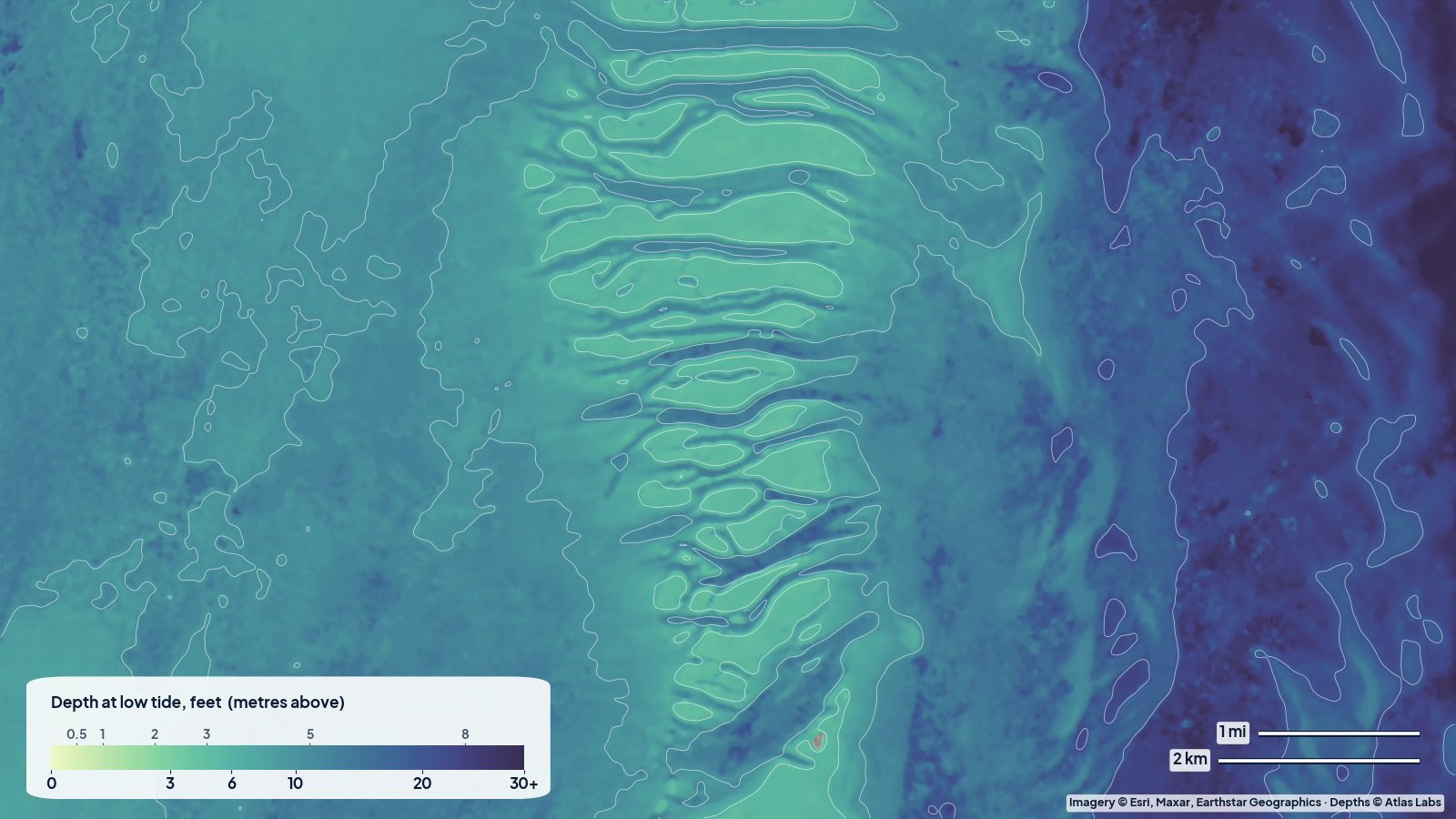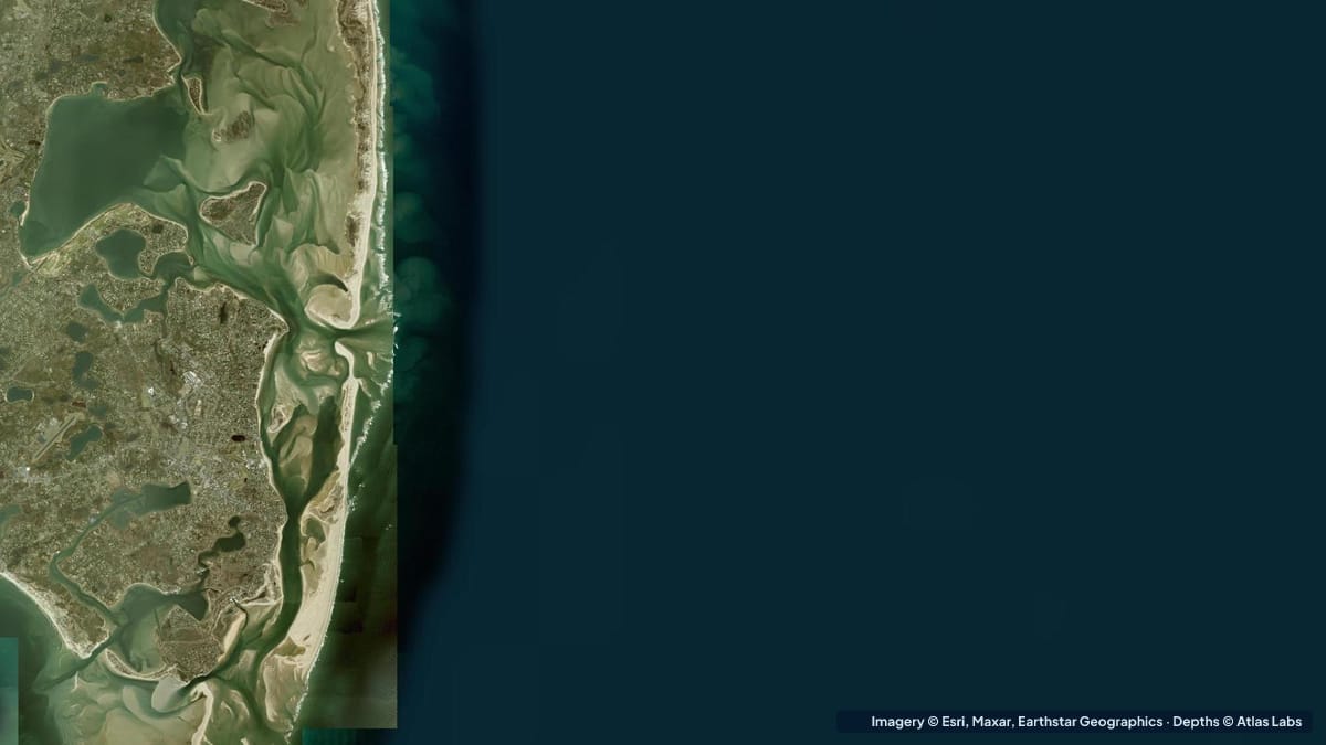
Cape Cod has some of the biggest tides and widest tidal flats on the US East Coast, and nowhere shows that better than Chatham, at the Cape’s elbow. On the ocean side, Chatham Harbor and Monomoy are a shifting world of sandbars, seals and breaking inlets. To the north, Pleasant Bay is a large, sheltered estuary with sand and eelgrass flats. And across the Cape on the bayside, from Brewster to Eastham, the tide goes out for a mile or more and leaves a sand flat you can walk across. This guide explains the typical depths by zone, launches, tides and hazards for all three. The satellite depth map for this cell is updated regularly; the bayside flats are a few cells west and north.
What the bottom looks like
- Chatham Harbor and the inlets: clean sand, constantly rearranged by storms, with a barrier beach (Nauset/North Beach) that breaks and heals over the years. The harbour has a dredged channel and a fish pier; the inlets are shallow bars with breaking surf.
- Monomoy (National Wildlife Refuge): a long sand island and flats to the south of Chatham, with huge grey seal colonies and a maze of bars and sloughs that dry at low tide.
- Pleasant Bay: a large tidal lagoon of sand and eelgrass flats, deeper channels and islands, connected to the ocean through Chatham’s inlets.
- Cape Cod Bay flats (Brewster, Orleans, Eastham): firm sand with ripple marks and tide pools that dry out for up to a mile or two at low tide, then flood to several feet at high.
- Nantucket Sound side (Harwich, Stage Harbor): sand and eelgrass flats, warmer and calmer water, with Stage Harbor as Chatham’s main protected harbour.
Approximate depth by zone
Typical ranges only. The tide range here is roughly 6 to 10 ft (1.8 to 3 m) on the bayside and 4 to 7 ft (1.2 to 2.1 m) at Chatham, so the same spot can be dry or over your head within six hours. Check the live map and the tide table together.
- Cape Cod Bay flats (Brewster area): dry to a few inches at low tide, roughly 6 to 10 ft (1.8 to 3 m) at high.
- Chatham Harbor channel: dredged, roughly 6 to 10 ft (1.8 to 3 m), with shoals beside it that dry.
- Chatham inlets and the Monomoy bars: roughly 0 to 8 ft (0 to 2.4 m), breaking surf, constantly shifting.
- Pleasant Bay flats: roughly 1 to 4 ft (0.3 to 1.2 m) at low tide, 6 to 10 ft (1.8 to 3 m) at high.
- Pleasant Bay channels and the deeper basins: roughly 10 to 25 ft (3 to 7.6 m).
- Stage Harbor and the Nantucket Sound flats: roughly 1 to 4 ft (0.3 to 1.2 m) on the flats at low tide; the harbour channel about 8 to 10 ft (2.4 to 3 m).
Launch points and boat ramps
- Ryder’s Cove (Chatham): the town’s main public ramp on Pleasant Bay, with parking (resident stickers in season) and kayak access.
- Jackknife Harbor and the Pleasant Bay town landings (Orleans, Harwich): several landings with kayak and small-boat access to the bay.
- Stage Harbor and Oyster Pond landings (Chatham): launches for the Nantucket Sound side, sheltered and good for beginners.
- Monomoy access: by boat or ferry from Chatham (Morris Island causeway for walkers at low tide); no vehicle access.
- Paine’s Creek and Breakwater Beach (Brewster), Rock Harbor (Orleans): bayside launches onto the great flats; Rock Harbor dries completely at low tide.
- Nauset Marsh (Eastham, Orleans): town landings for kayaking the marsh channels.
Best tide, wind and season
- Tide: Everything. On the bayside, launch two to three hours before high tide and return before the ebb strands you a mile from shore. In Pleasant Bay and Stage Harbor, paddle the flats around mid to high tide. Never approach the Chatham inlets or the Monomoy bars on an ebb tide against an onshore wind.
- Wind: The afternoon south-westerly blows most summer days at 15 to 20 knots. Pleasant Bay and Stage Harbor are sheltered; Cape Cod Bay is exposed to north-westerlies; the ocean side is exposed to everything.
- Season: June to September for warm water and all services; September and October are the quietest and best for striped bass on the flats. Water is cold year round, roughly 55 to 70 F (13 to 21 C) in summer.
Hazards
- Being stranded by the tide: The bayside flats flood fast and from unexpected directions; walkers are cut off every summer.
- Breaking inlets and shifting bars: Chatham’s inlets are among the most dangerous on the Cape for small boats.
- Grey seals and sharks: Monomoy’s seal colony attracts white sharks in summer. Follow the Cape’s shark advisories and stay out of deep water near seals.
- Cold water and fog: Hypothermia is a real risk even in summer; fog rolls in quickly on the ocean side.
- Current in the channels: Pleasant Bay’s inlets and channels run hard on the big tides.
- Boat traffic: The fish pier and Stage Harbor channels are busy.
Kayak and skiff draft guidance
Kayaks and paddleboards (4 to 6 in, 10 to 15 cm of draft) are ideal for Pleasant Bay, Stage Harbor, Nauset Marsh and the bayside at high tide. Time every trip around the tide table and give the inlets a wide berth.
Skiffs and bay boats drawing 6 to 18 in (15 to 45 cm) can fish Pleasant Bay and the Monomoy flats on the rising tide and must leave before the ebb. Sailboats and cruisers drawing 3 to 6 ft (0.9 to 1.8 m) should use Stage Harbor and the marked channels and should not attempt the Chatham inlets without current local knowledge. Allow at least 1 ft (0.3 m) of margin above your draft, and remember the tide is falling fast.
Frequently asked questions
How far out do the Cape Cod Bay flats go at low tide?
Up to a mile or two at Brewster and Orleans on a spring low. They flood to 6 to 10 ft (1.8 to 3 m) at high tide.
How deep is Pleasant Bay?
The flats are roughly 1 to 4 ft (0.3 to 1.2 m) at low tide and the channels and basins 10 to 25 ft (3 to 7.6 m). The tide adds several feet.
Can I kayak to Monomoy?
Experienced paddlers do from Chatham or Morris Island at the right tide, but the inlets and bars are dangerous and seals attract sharks. Guided trips are the safer option.
Is Chatham Harbor deep enough for a sailboat?
The dredged channel holds roughly 6 to 10 ft (1.8 to 3 m), but the ocean inlets are shallow and shifting. Most cruisers use Stage Harbor instead.
When is the best time to paddle Cape Cod’s flats?
Two to three hours either side of high tide, on a calm morning, from June to October.
Related reading
- Chesapeake Bay eelgrass flats depth map
- Outer Banks sound-side depth map
- Catalina Two Harbors depth map
Safety note: ShoalScope depth maps are satellite estimates for planning only and are not for navigation. Cape Cod’s tides and shifting inlets can change depth by 10 ft in a few hours. Use official charts, tide tables and local knowledge, and wear a life jacket.