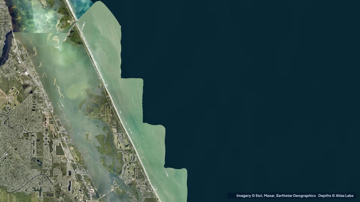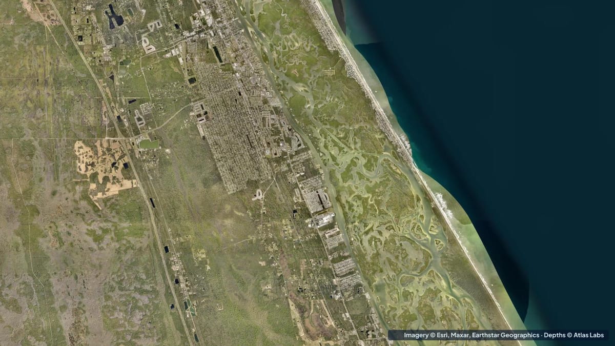
Mosquito Lagoon is the northern arm of the Indian River Lagoon system, running from New Smyrna Beach south to the Kennedy Space Center behind Canaveral National Seashore. It is famous for one thing above all: sight fishing for big redfish and trout on crystal-clear grass flats that are often only a foot or two deep. Published descriptions put the average depth at 1 to 4 ft (0.3 to 1.2 m), with most of the lagoon under 2 ft (0.6 m) and some back bays holding only about 10 in (25 cm). This guide explains the zones, typical depths, launch points and hazards, and how to plan a kayak or skiff trip. The satellite depth map for this cell is updated regularly.
What the bottom looks like
- Open flats: lush seagrass over firm sand, interrupted by white sand potholes that fish use as ambush points. On a calm day you can see the bottom everywhere.
- Spoil islands and the Intracoastal channel: a dredged channel runs down the western side of the lagoon with a chain of spoil islands beside it. The channel is the only consistently deep water.
- Back bays and mangrove edges (Canaveral National Seashore side): shallow, soft-bottomed bays behind the barrier island, with mosquito-control ditches and impoundments.
- The north end near New Smyrna and Ponce Inlet: busier, with marinas, deeper channels and tidal current from the inlet.
Approximate depth by zone
Typical ranges only. The southern lagoon has almost no tide; wind and rainfall drive water levels, so check the live map.
- Open grass flats: roughly 1 to 3 ft (0.3 to 0.9 m), with large areas under 2 ft (0.6 m).
- Sand potholes on the flats: roughly 2 to 4 ft (0.6 to 1.2 m).
- Back bays behind Canaveral National Seashore: roughly 10 in to 2 ft (25 to 60 cm).
- Intracoastal channel: dredged, roughly 6 to 10 ft (1.8 to 3 m); the deepest natural channel is reported at about 6 to 7 ft (1.8 to 2.1 m).
- Haulover Canal (link to the Indian River): roughly 6 to 8 ft (1.8 to 2.4 m) with current, manatees and heavy traffic.
- North end near Ponce Inlet: deeper channels of roughly 6 to 15 ft (1.8 to 4.6 m) with strong tidal flow.
Launch points and boat ramps
- Canaveral National Seashore (Playalinda and Apollo districts): several kayak launches along the lagoon shore, including the Eddy Creek ramp near Playalinda and launches at Apollo Beach; park entrance fee applies.
- Biolab Road (Merritt Island National Wildlife Refuge): a sand road along the western shore of the lagoon with multiple carry-in launches straight onto the flats; closed in wet conditions and during launches.
- Beacon 42 and Haulover Canal ramps: public ramps for skiffs and small boats, giving quick access to the southern flats.
- River Breeze Park (Oak Hill) and JB’s Fish Camp (New Smyrna): ramps and rentals for the middle and northern lagoon.
- Kennedy Point Park and Parrish Park (Titusville): ramps on the Indian River side, reaching the lagoon through Haulover Canal.
Best tide, wind and season
- Tide: Negligible across most of the lagoon. Water is highest after wet summers and lowest after dry winters and strong north-west winds. The exception is the north end near Ponce Inlet, where the tide runs properly.
- Wind: The best sight fishing needs light wind and a high sun; mornings are usually calm. Anything over 12 knots muddies the flats and ruins visibility.
- Season: October to April gives the clearest water and the big schooling redfish; cold snaps push fish into the potholes and channels. Summer is hot with afternoon storms, higher water and more boats, but early mornings fish well.
Hazards
- Grounding: Almost the entire lagoon is shallower than a bay boat’s draft. Running outside the channel at speed is how props get ruined and seagrass gets scarred.
- Manatees: Common, especially in Haulover Canal, which has idle-speed zones.
- Boat traffic in the channel and Haulover Canal: Busy on weekends; the canal is narrow.
- Rocket launches: Parts of the southern lagoon and the Biolab Road close around launches from Kennedy Space Center and Cape Canaveral.
- Heat, sun and bugs: No shade on the flats; mosquitoes and no-see-ums are intense at dawn and dusk from May to October.
Kayak and skiff draft guidance
Kayaks and paddleboards (4 to 6 in, 10 to 15 cm of draft) are perfect for Mosquito Lagoon and can reach the shallowest back bays where redfish tail. A paddleboard is the quietest way to sight fish.
Poling skiffs drawing 6 to 10 in (15 to 25 cm) are the classic Mosquito Lagoon boat; run the channel, shut down well short of the flat and pole in. Bay boats drawing 12 in (30 cm) or more should stay in the Intracoastal and the marked cuts and should not attempt the open flats at all when the water is low. Keep at least 1 ft (0.3 m) of margin above your draft, and remember there is no rising tide coming to float you off.
Frequently asked questions
How deep is Mosquito Lagoon?
On average 1 to 4 ft (0.3 to 1.2 m), with most of the lagoon under 2 ft (0.6 m). Only the dredged Intracoastal channel is consistently 6 ft (1.8 m) or more.
Where can I launch a kayak on Mosquito Lagoon?
Canaveral National Seashore launches, Biolab Road in the Merritt Island refuge, Beacon 42, River Breeze Park and JB’s Fish Camp are the main options.
Does Mosquito Lagoon have tides?
Barely, except near Ponce Inlet at the north end. Wind and rainfall control the water level across most of the lagoon.
Can I run a bay boat on the Mosquito Lagoon flats?
Not safely. Stay in the channel and fish the edges, or use a poling skiff or kayak for the flats.
When is the best time to fish Mosquito Lagoon?
October to April for clear water and schooling redfish; calm, sunny mornings are best for sight fishing all year.
Related reading
- Sebastian Inlet depth map
- Biscayne Bay depth map
- Tampa Bay depth map: Fort De Soto and Weedon Island
Safety note: ShoalScope depth maps are satellite estimates for planning only and are not for navigation. Water levels in Mosquito Lagoon change with wind and rain. Use official charts and obey manatee and launch closures.