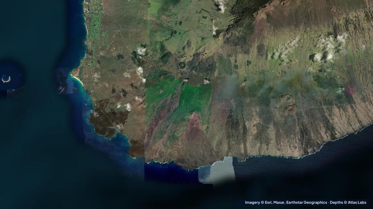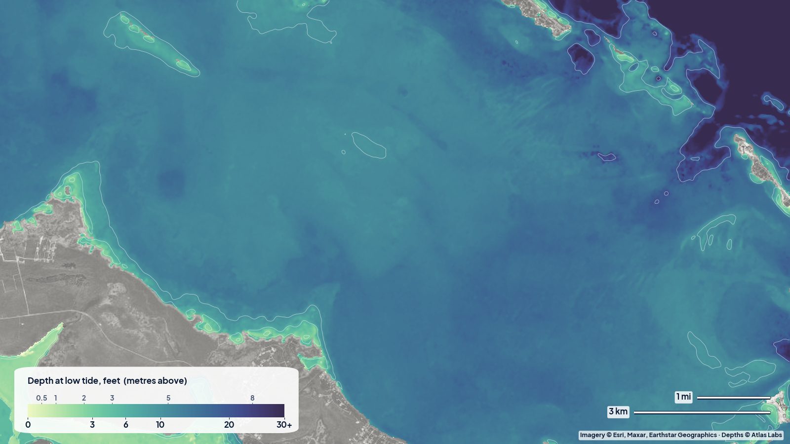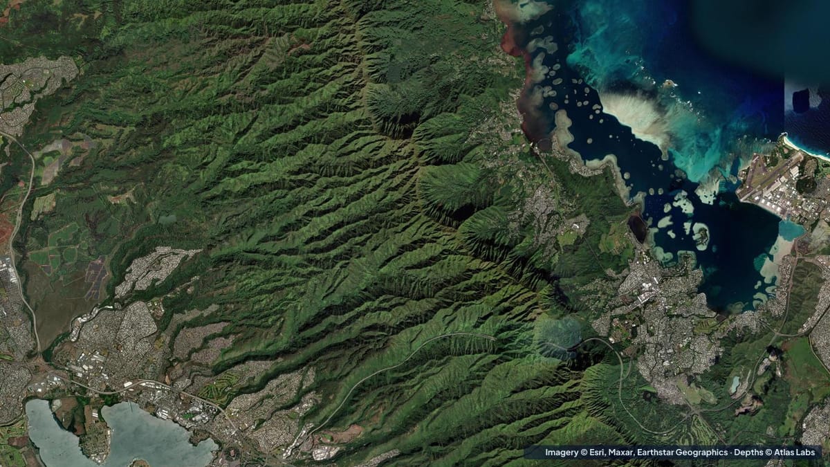
Kaneohe Bay, on the windward side of Oahu, is the largest sheltered body of water in the Hawaiian Islands: a 8 mile (13 km) long lagoon protected by a barrier reef, dotted with patch reefs and home to the only true sandbar of its kind in Hawaii. Ahu o Laka, the Kaneohe sandbar, is a broad bank of white sand in the middle of the bay that is dry or ankle deep at low tide and chest deep at high, surrounded by water 10 to 30 ft (3 to 9 m) deep. On weekends it fills with boats, kayaks and paddleboards. This guide explains how the depth changes with the tide, how to get there, when to go and what to watch for. The satellite depth map for this cell is updated regularly.
What the bottom looks like
- The sandbar (Ahu o Laka): clean white calcareous sand, firm underfoot, roughly a mile long, with a hard edge on its seaward side where the sand drops away into the deeper lagoon.
- The lagoon: sand and rubble floor between the sandbar, the patch reefs and the shore, with patches of seagrass and algae; water is usually clear in the morning and slightly stirred by the afternoon trade wind.
- Patch reefs: dozens of coral mounds rising from the lagoon floor to within a few feet of the surface, some marked, many not; the snorkeling is on their edges.
- The barrier reef: a wide reef flat on the ocean side of the bay, awash at low tide, with channels (Sampan Channel and the Ship Channel) through it.
- Shoreline: fishponds, mangroves, the Heeia Kea small boat harbour, the Marine Corps base on the Mokapu peninsula and Kualoa at the north end.
- Coconut Island (Moku o Loe): a research island near the sandbar, off limits to landing.
Approximate depth by zone
Typical ranges only. The tide range is small, about 1 to 2 ft (0.3 to 0.6 m), but on the sandbar that is the difference between walking and swimming. Check the live map and the tide.
- Sandbar at low tide: descriptions range from a few inches to knee deep, roughly 0 to 2 ft (0 to 0.6 m); the highest parts emerge on the lowest tides.
- Sandbar at high tide: roughly 3 to 5 ft (0.9 to 1.5 m), waist to chest deep.
- Sandbar edge drop-off: falls quickly, by around 30 ft (9 m) according to local descriptions, into the lagoon.
- Lagoon between the sandbar and shore: roughly 10 to 30 ft (3 to 9 m).
- Patch reef tops: roughly 2 to 6 ft (0.6 to 1.8 m), with 15 to 40 ft (4.6 to 12 m) around them.
- Barrier reef flat: awash to 3 ft (0 to 0.9 m) at low tide.
- Sampan Channel and Ship Channel: roughly 20 to 40 ft (6 to 12 m), current and surf at the mouths.
Launch points and boat ramps
- Heeia Kea Small Boat Harbor: the main public ramp and the closest launch to the sandbar, about 1.5 miles (2.4 km) across the lagoon; parking is tight on weekends and the kayak launch area is next to the ramp.
- Heeia State Park: kayak and paddleboard rentals and a launch at the fishpond, a little further from the sandbar.
- Kaneohe Beach Park and Kailua-side launches: longer paddles, used by locals.
- Kualoa Regional Park: north end of the bay, a long paddle to the sandbar but a beautiful one along the reef.
- Tour boats: several operators run sandbar trips from Heeia Kea with snorkeling and lunch; this is how most visitors go.
Best tide, wind and season
- Tide: Go on a falling tide toward a low in the late morning if you want to stand and picnic on the sand; go at mid tide if you want to swim and snorkel off the edge. Check the tide before you pick the day.
- Wind: The trade wind blows from the north-east and funnels down the bay; mornings are calm and afternoons get to 15 to 25 knots with a chop that makes the paddle back from the sandbar to Heeia Kea a slog or a hazard. Leave the sandbar by early afternoon in trade-wind weather.
- Season: All year. Summer (May to September) has the steadiest trade winds and the clearest water; winter brings lighter winds some days and kona (southerly) storms others. Weekends and holidays are crowded; weekday mornings are quiet.
Hazards
- The afternoon trade wind: The main one for paddlers. Many rescues involve kayaks and boards blown toward the barrier reef or unable to make it back to the harbour.
- The drop-off: Children and weak swimmers step off the sandbar edge into deep water; keep them on the shallow side.
- Boat traffic: The sandbar anchorage is busy; boats and jet skis run between the patch reefs. Wear bright colours.
- Patch reefs and coral: Stand only on sand, never on coral; the patch reefs rise suddenly and will hole a hull.
- Sun: Intense and reflected off white sand and water with no shade.
- Alcohol and holidays: The sandbar has a history of incidents on major holiday weekends; some weekends have alcohol restrictions.
- Military and research areas: Keep clear of the Marine Corps base shoreline and Coconut Island.
Kayak and boat guidance
Kayaks and paddleboards (4 to 6 in, 10 to 15 cm of draft) can reach the sandbar from Heeia Kea in 30 to 60 minutes in the morning calm; the route crosses deep lagoon water between patch reefs, so stay in a group and carry a leash, a life jacket and water. Return before the wind builds.
Boats drawing 1 to 4 ft (0.3 to 1.2 m) anchor on the sandbar’s deeper edge in 4 to 8 ft (1.2 to 2.4 m) of sand or on its shallow crown at high tide, and must thread between the patch reefs on the way out from the harbour; follow the marked channels and watch the colour of the water.
Frequently asked questions
How deep is the Kaneohe sandbar?
At low tide it is a few inches to knee deep, roughly 0 to 2 ft (0 to 0.6 m), and at high tide it is waist to chest deep, roughly 3 to 5 ft (0.9 to 1.5 m). The edge drops quickly into 10 to 30 ft (3 to 9 m) of lagoon.
Can I kayak to the Kaneohe sandbar?
Yes, from Heeia Kea Small Boat Harbor it is about 1.5 miles (2.4 km), 30 to 60 minutes each way. Go in the morning and return before the trade wind builds.
When is the best time to visit the sandbar?
A weekday morning on a falling tide toward a late-morning low, when the sand is exposed, the water is clear and the wind is light.
Is there snorkeling at the Kaneohe sandbar?
Yes, along the sandbar’s edge and on the nearby patch reefs, in 5 to 20 ft (1.5 to 6 m) of water with coral and reef fish.
Where do I launch a boat for Kaneohe Bay?
Heeia Kea Small Boat Harbor has the main public ramp; arrive early on weekends.
Related reading
Safety note: ShoalScope depth maps are satellite estimates for planning only and are not for navigation. Patch reefs rise suddenly and the afternoon wind is dangerous for paddlers. Use official charts, check the tide and wind, and wear a life jacket.