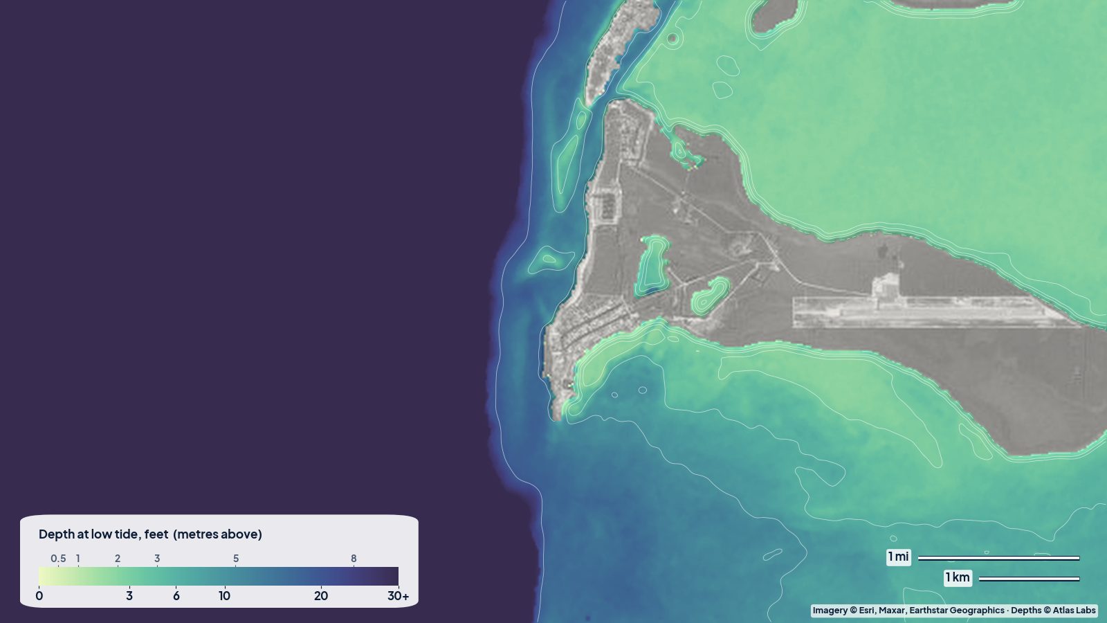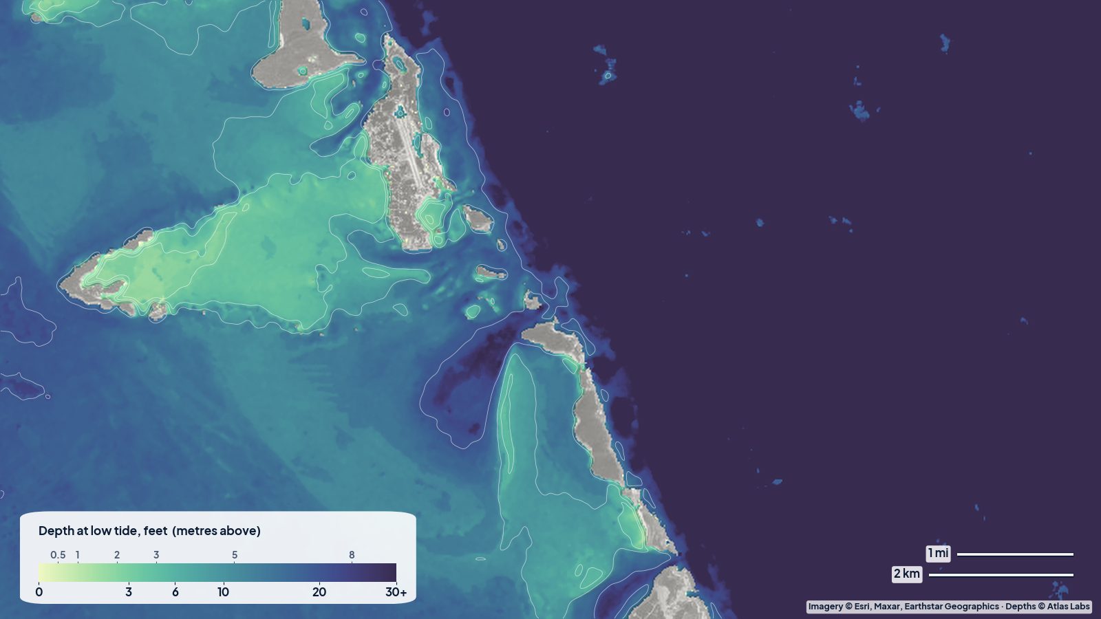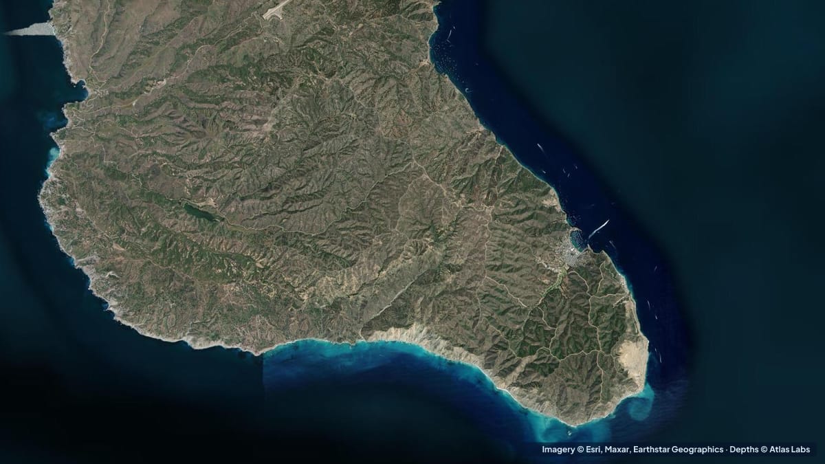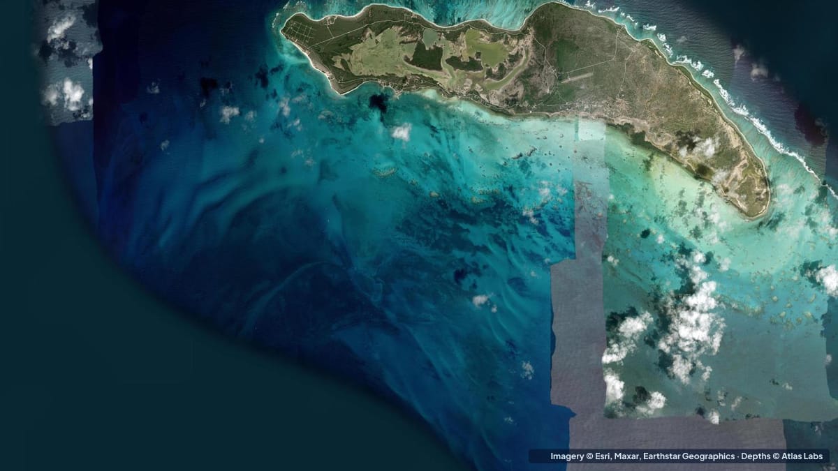
Anegada is the odd one out in the British Virgin Islands: a flat coral and limestone island barely 28 ft (8.5 m) above sea level, lying about 15 miles (24 km) north of Virgin Gorda inside Horseshoe Reef, an 18 mile (29 km) barrier reef that is the largest in the Caribbean and the third largest on earth. The reef has claimed more than 150 ships, which is why many charter companies restrict or ban visits. For those who make it, the island offers miles of empty beaches, shallow bonefish flats, and some of the clearest reef snorkeling in the region. This guide explains the approach, the anchorage, the flats and the north-shore reefs, with typical depths and hazards. The satellite depth map for this cell is updated regularly.
What the bottom looks like
- The south-side approach and Setting Point: a marked channel through the reef and shoals on the island’s south-west side leads to the anchorage off Setting Point, the island’s “harbour”. The bottom is sand and grass with scattered coral heads.
- The inshore flats (south and west): vast, shallow sand and turtle-grass flats where bonefish feed, extending from the shore toward the reef; many are wadeable.
- Horseshoe Reef: the barrier reef that curls around the island’s east and south-east, with its upper structure just a few metres below the surface and the outer wall dropping to roughly 65 to 80 ft (20 to 25 m) onto sand and rubble.
- The north shore (Loblolly Bay, Cow Wreck Beach, Flash of Beauty): long white beaches protected by a fringing reef a short swim offshore, with coral heads, sand channels and calm water inside.
- The salt ponds: large inland lagoons that are home to flamingos; not navigable.
Approximate depth by zone
Typical ranges only. The tide here is small, under 1 ft (0.3 m), but swell over the reef changes conditions quickly. Check the live map.
- Entrance channel to Setting Point: local guidance quotes about 20 ft (6 m) at the entrance, shoaling toward the anchorage; the channel is marked but narrow.
- Setting Point anchorage: roughly 7 to 12 ft (2.1 to 3.7 m) over sand, with mooring balls and shallower patches closer in.
- Bonefish flats (south and west): roughly 6 in to 3 ft (15 to 90 cm), wadeable firm sand and grass.
- Horseshoe Reef crest: awash to 10 ft (0 to 3 m); outer wall roughly 65 to 80 ft (20 to 25 m).
- North-shore beaches inside the fringing reef: roughly 2 to 10 ft (0.6 to 3 m) over sand and coral heads.
- Open water between the reef and Virgin Gorda: deep, roughly 60 ft (18 m) and more, with the Anegada Passage to the east much deeper.
Access, launches and moorings
- Arrival by boat: approach only in good light from the south-west, following the marked channel to Setting Point and the mooring field. Many charters require a briefing or a permit for Anegada.
- Ferry and air: a passenger ferry from Tortola and small planes from Beef Island serve the island for those without a boat.
- Setting Point and Pomato Point: docks, restaurants and taxis; small boats can land on the beach.
- Loblolly Bay and Cow Wreck Beach: reached by taxi or rental vehicle; carry-in launches for kayaks and paddleboards onto calm water inside the fringing reef.
- Fishing guides: a handful of local bonefish guides launch skiffs from the south shore and the salt-pond channels.
Best tide, wind and season
- Tide: Minor for depth, but a rising tide brings bonefish onto the shallowest flats; local guides fish the rising half.
- Wind: The trade wind from the east blows across the island most days; the south-side anchorage is sheltered from swell by the reef but open to wind chop. North swells in winter close out the north-shore reef passes.
- Season: December to April is the charter high season with the most boats at Setting Point. Summer is hotter, calmer and nearly empty, with the best snorkeling visibility. Hurricane season peaks August to October; the island was badly hit in 2017.
Hazards
- Horseshoe Reef: The headline hazard. Over 150 wrecks. Never approach from the north or east, never arrive at night, and never leave the marked channel.
- Coral heads in the anchorage approach: Scattered heads rise close to the surface near the channel edges; good light and a bow lookout are essential.
- Current and swell on the reef: Snorkelers on the north shore should stay inside the fringing reef; the gaps drain hard when swell is running.
- Remoteness: Limited services, fuel and medical help; cell coverage is patchy.
- Sun, heat and no shade: Carry water everywhere.
- Protected species: Flamingos, turtles and the Anegada rock iguana are protected; keep your distance.
Kayak and boat draft guidance
Kayaks and paddleboards (4 to 6 in, 10 to 15 cm of draft) are perfect inside the north-shore fringing reef and across the south-side flats, and are the quietest way to look for bonefish. Do not paddle outside the reef.
Charter catamarans and monohulls drawing 4 to 7 ft (1.2 to 2.1 m) can reach Setting Point through the marked channel in good light, with roughly 7 to 12 ft (2.1 to 3.7 m) in the anchorage; deeper-draft yachts anchor further out. Skiffs drawing 6 to 12 in (15 to 30 cm) are the only boats for the flats, and even they pole and wade. Allow a generous margin above your draft everywhere inside the reef.
Frequently asked questions
How deep is the Anegada channel?
Local guidance quotes about 20 ft (6 m) at the entrance, shoaling toward the Setting Point anchorage, which is roughly 7 to 12 ft (2.1 to 3.7 m). Follow the markers and arrive in good light.
Why do charter companies restrict Anegada?
Horseshoe Reef has wrecked more than 150 vessels, and the approach is unlit and surrounded by coral heads. Many companies require a briefing, a permit or a skipper.
How deep are the Anegada bonefish flats?
Mostly 6 in to 3 ft (15 to 90 cm) over firm sand and grass, and widely wadeable.
Where is the best snorkeling on Anegada?
Loblolly Bay and Cow Wreck Beach on the north shore, inside the fringing reef, in roughly 2 to 10 ft (0.6 to 3 m) of water.
Can I kayak around Anegada?
Inside the reef on the north shore and across the south flats, yes. Circumnavigating the island crosses open, reef-strewn water and is not recommended.
Related reading
Safety note: ShoalScope depth maps are satellite estimates for planning only and are not for navigation. Horseshoe Reef is one of the most dangerous reefs in the Caribbean. Use official charts, the marked channel, good light and local guidance, and never approach at night.